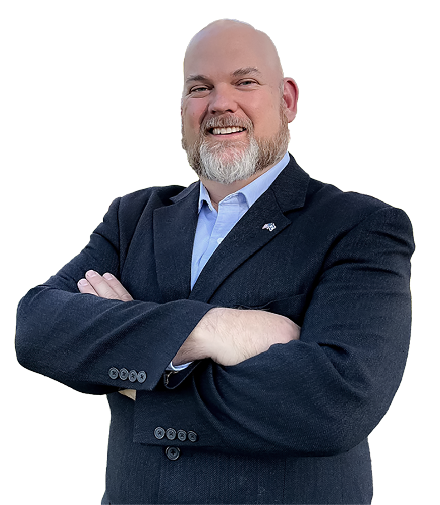
JASON ANDERSON
for US Congress District 19

California Congressional
District 19th
Our district intertwines through 4 counties and a whole lot of cities. It can be confusing to know exactly where the boundaries are. Below is a map of California’s 19th Congressional district. You can enter your zip code here and see what district you are in.
There is so much beauty and community here on the central coast. I am worried, like many others, that our coastline is on its way to becoming industrialized, and agriculture will be pushed aside for densely populated cities. We must protect the majesty of the California Central Coast for generations to come.
Together we can build these districts into the schools, communities, cities, and envirnoment they are meant to be. California is the most beautiful state in the Nation. Let’s work on keeping it that way and keep people from wanting to move away.
I am ready to represent you.
(wiki page source) Following redistricting in 2021, the district includes most of Santa Cruz County and parts of Santa Clara County, Monterey County and San Luis Obispo County. The new 19th district includes the south side of San Jose and the entire cities of Santa Cruz, Monterey, Seaside, Paso Robles, and Atascadero.[3] Most of the area was previously part of the 20th district, which moved to the Central Valley.
Together we can build these districts into the schools, communities, cities, and envirnoment they are meant to be. California is the most beautiful state in the Nation. Let’s work on keeping it that way and keep people from wanting to move away.
Help Out and All of Us Win!
